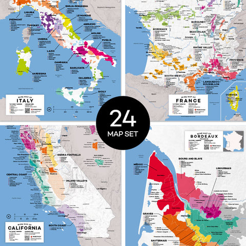
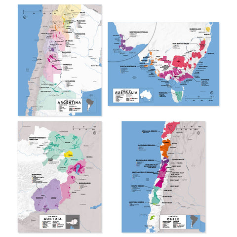
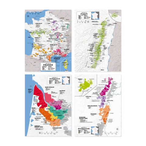
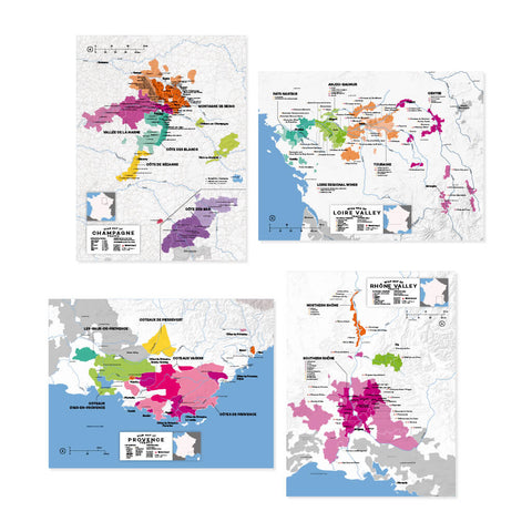
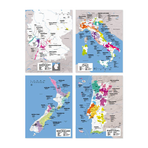
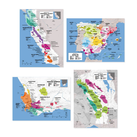
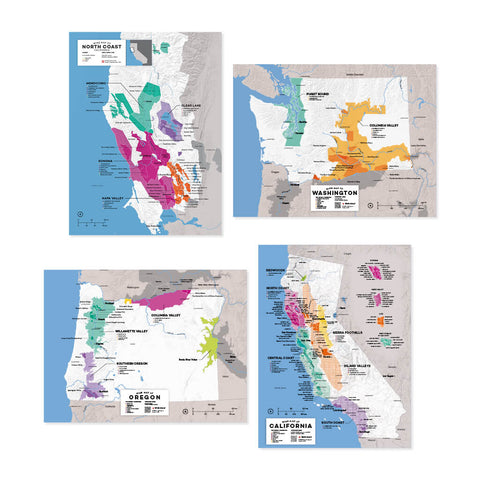
Complete Map Set - 1st Edition

3 products left

Details

BLOWOUT PRICING! Get them while you can.

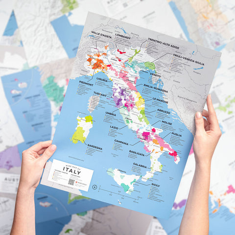
Explore regional wine maps of the major wine countries of the world including Italy, France, Spain and beyond. Designed by experts for experts.

Specifications

Durable, water and tear resistant polyart high density paper.

  • Size: 12" x 16"
  • Includes: 24 Map prints (boxed), care notes, and satisfaction guarantee
  • Made in USA
  • Copyright 2019
  • All sales final on 2019 Complete Map Set (1st Edition)
  • For presale of 2024 Complete Map Set 2nd Edition click here

How to Use Digital Maps
Our digital maps are available for you to use in two separate modes:

  • High Resolution: This mode is online only and features a high-definition version of the map, ideal for zooming in on and studying specific sub-regions.
  • Print Resolution: This mode can be downloaded and printed on letter/A4 paper for wine students who need quick reference of a region and its appellations.

Commercial or public use of any kind is prohibited.
*All sales final on digital products


The Complete Wine Map Collection

Explore the major wine producing regions of the world. The complete map set includes all 24 of our maps from the major winemaking countries and prominent sub-regions of the world.

Whats Included:

Argentina, Australia, Austria, Chile, France, France: Alsace, France: Bordeaux, France: Burgundy, France: Champagne, France: Loire Valley, France: Provence, France: Rhône Valley, Germany, Italy, New Zealand, Portugal, South Africa, Spain, US: California, US: California: Central Coast, US: California: Napa Valley, US: California: North Coast, US: Oregon, US: Washington.

Digital

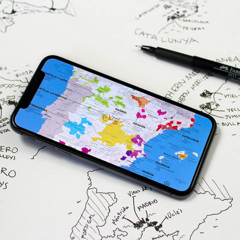
On the go? Need a pocket reference set? We sell a digital version as well.

Explore the Digital Wine Maps Set

recommended products

Check These Out

Liked this product? Here's some more we think you'd be into...

Customer Reviews
4.6 Based on 104 Reviews
5 ★
79% 
82
4 ★
9% 
9
3 ★
6% 
6
2 ★
4% 
4
1 ★
2% 
3
Write a Review Ask a Question

Thank you for submitting a review!

Your input is very much appreciated. Share it with your friends so they can enjoy it too!

Filter Reviews:
MN
08/19/2024
Markus N.
United States

printed maps set

Hi guys - great maps and delivered right on time. Now I read that you have updated maps and want another $200-$300 for them. I don't have these maps for more than 3 months and you couldn't let me know that you are printing updated editions? That is poor and I won't spend that much money again on printed maps. Any maps should be available to anybody who purchased the older versions within the past 6 months or so. That would be customer service, but you would loose money on that deal I guess.

MS
08/04/2024
Melissa S.
United States

Very helpful

Great studying tool!

KC
06/07/2024
Ketlin C.
Brazil

Não há regiões brasileiras produtoras de vinhos , nem nos mapas, nem no livro

O Brasil produz excelentes vinhos, espumantes, já recebemos vários prêmios mundiais e vocês não publicaram nada em seus materiais sobre nossas regiões. Gostaria de saber o por que e estou disposta a argumentar e falar sobre, pois sou profissional da área e acredito que todos países que produzem vinhos, espumantes com excelencia e exaltam esta cultura merecem ser propagados para o mundo inteiro pois sabemos o quanto esse processo de produção é delicado para ter um excelente produto final.

06/10/2024

Wine Folly

Reconhecemos que o Brasil não está representado na Edição Magnum (junto com outras regiões/países como Canadá e México). Estamos constantemente trabalhando para adicionar e melhorar o livro/site, porém nosso livro está limitado a 300 páginas como referência básica e não podemos incluir tudo sobre vinho.

JR
05/04/2024
Jef R.
United States

Complete Map Set

Nice, accurate, lets me know what region I am tasting from. Very well made. I have six of the posters framed so far. Soon to frame more. Thank you Wine Folly!

RB
05/03/2024
Roger B.
United States

Maps collection

Maps are attractive and wine regions clearly depicted in color. So far I have not referred to them very much and I am wondering what their real utility will be for me. They seem to be a quick way to get an overview of an area, and that is helpful but a still limited use.